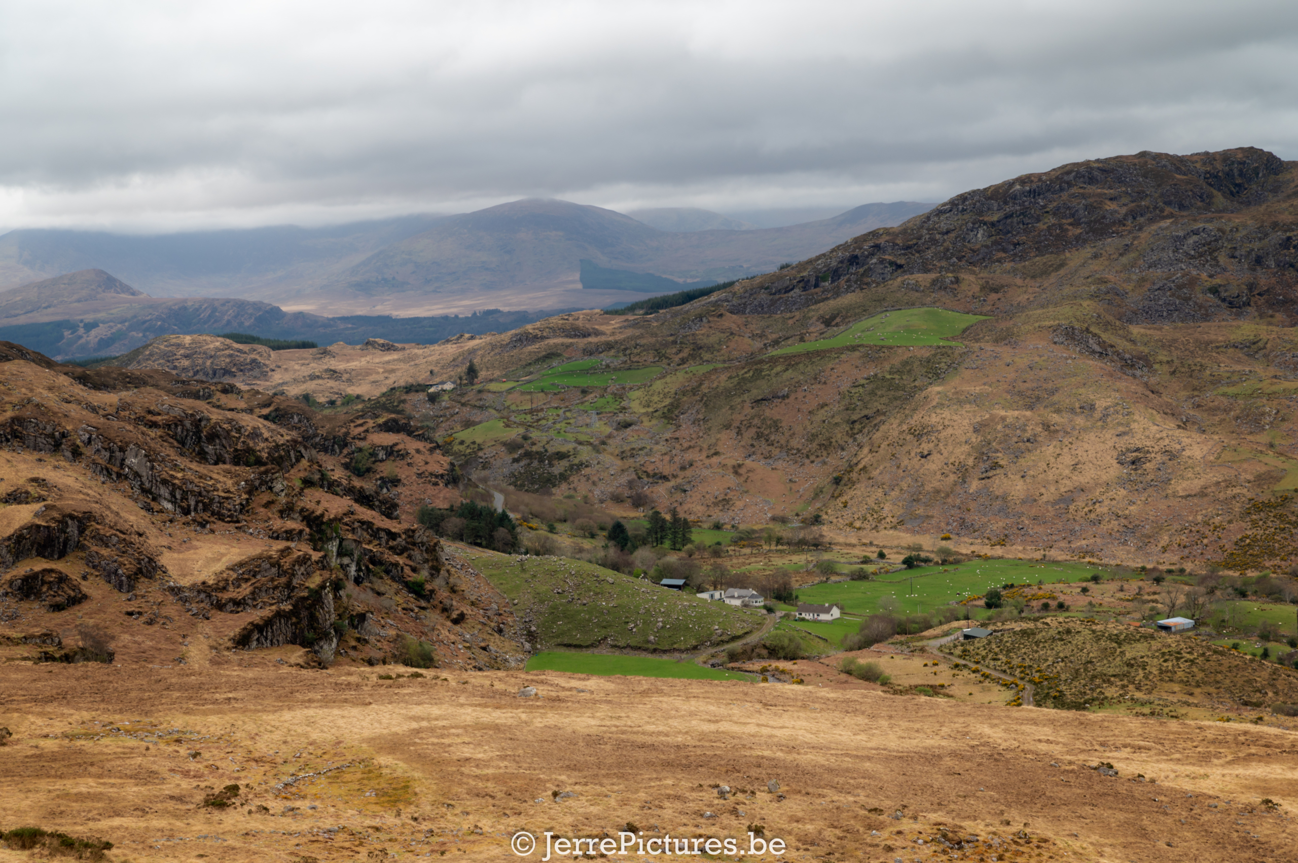
In this post, I want to take you on my hike to the ‘Devil’s Ladder’ route in Coomloughra Lough and Lough Eagher, which is said to be actually named Lough Eakin, but the local population prefers the name Lough Eagher (as far as I can find). After a beautiful sunset the evening before (which you could see in my previous post), we arrived at the parking lot for the hiking trail. It was mid-April and the parking lot was completely empty. We slept there peacefully and didn’t see any cars during the night (which is pretty normal), but even when we returned from our hike after half a day, there were still no cars in this parking lot. We do have to keep in mind that we are in the low season! I estimate that about 20 cars can fit in the parking lot.
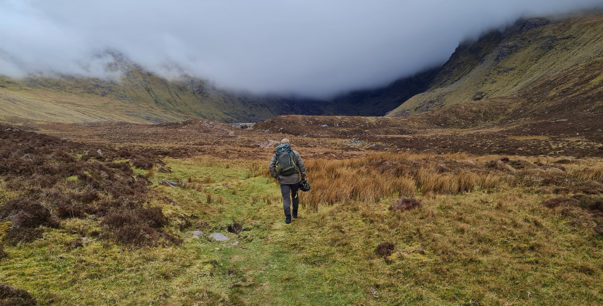
Because the parking lot is a bit remote, we slept peacefully. After a hearty breakfast under a grey cloud cover, we were ready. And ready you had to be, because the climb started extremely steep. But the view you get in return makes up for everything.

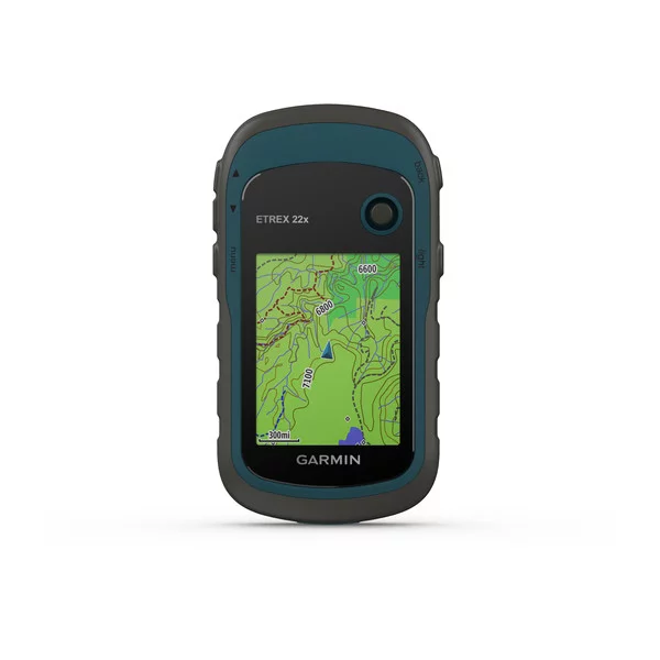
Unfortunately, after doing part of the route, I realized that the standard maps on my etrex GPS of my Garmin were not correct. I thought the lines drawn would still lead me to the right points. But after struggling through some marsh and the not-so-great weather which still produced fantastic images of the area, I decided to abandon the hike and do a route around the boggy grassland around Coomloughra Lough.
If I had been alone, I would have taken the risk to continue, but ‘Devil’s Ladder’ is known as a route for advanced hikers. And if it becomes just a little too adventurous, I can’t convince my girlfriend to continue. A calculated risk becomes more dangerous when you have someone with you who is more uncertain.
Nevertheless, it was a great hike among the sheep that had just lambed. For those who want to do this route, I recommend making sure you have the correct maps and starting early, as it can be a challenging hike. It is also important to know that weather conditions can change quickly, so be prepared for this. But above all, enjoy the beautiful view and nature around you.
Tips for the hike from Hydro Track Carpark-route
As an experienced hiker, I would like to give you some tips for the ‘Devil’s Ladder’ route. Firstly, I want to emphasize that using GPS is strongly recommended, especially because the route was not marked from our starting location. To make the hike even safer and easier, I recommend downloading OpenStreetMap maps or using apps like WikiLoc or OSMand.
Our parking lot at the start of the hike had coordinates of N52° 01.377′ W9° 47.365′, called ‘Carrauntoohil Parking Hydro Track Carpark’. When you’re at the parking lot, you’ll see a bench with a table about 50 meters from the trail. This is a perfect spot to rest and eat before starting the hike.
If you do the route as we did from here, you’ll avoid the steep descent of ‘Devil’s Ladder’. This can be a good option for people who are less experienced in mountain hiking and want to avoid the challenge of ‘Devil’s Ladder’. However, please note that the hike can still be demanding, and you’ll need the necessary equipment and experience to complete it safely. Also, keep in mind that the route is not marked, and without the proper maps, it can be almost impossible.
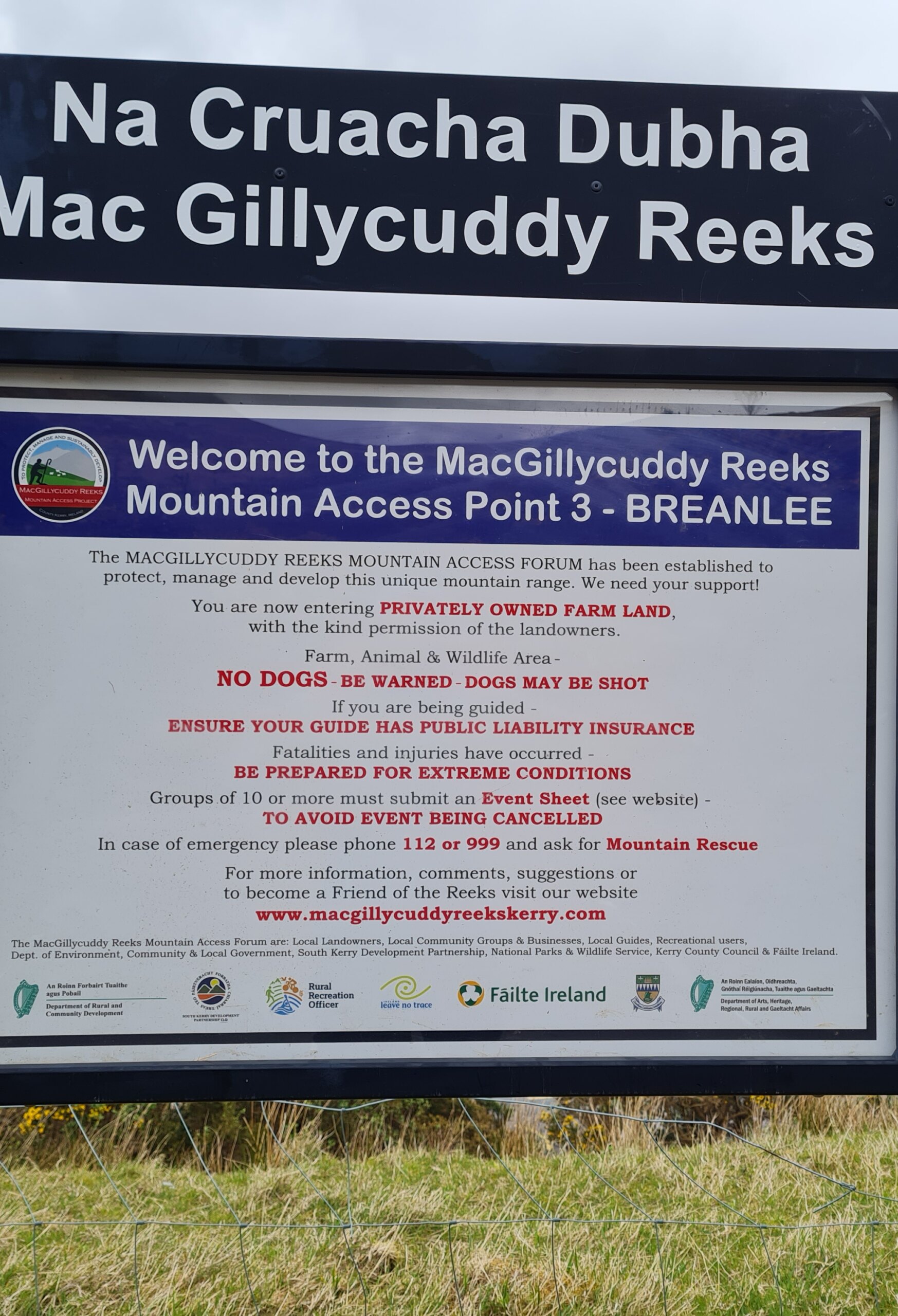
Devil’s Ladder GPXBe aware that the land you enter during the hike is owned by sheep farmers. Respect their property and keep the area clean so that it remains accessible to future visitors. You can always support the farmers by making a small donation in the donation box.
NO DOGS BE WARNED – DOGS MAY BE SHOT: You may come across this type of warning more often in Ireland, particularly among farmers who use it to protect their livestock. The warning is intended to alert people that dangerous situations can arise if their dog is not under control in certain areas, such as those where cattle graze or in wildlife reserves. Ultimately, this warning is meant to protect not only dogs, but also other animals in the area. It is important to respect these warnings and to keep your dog under control to prevent any harm or disturbance to the local wildlife and livestock.
I hope these tips will help you enjoy the Devil’s Ladder route and explore this beautiful area with respect.
Several interesting facts about the ‘Devil’s Ladder’ route:
- The Devil’s Ladder route is a popular hiking trail in Ireland and attracts several thousand visitors annually. (best time to visit is from half April till the end of May)
- The route is named after a narrow passage between two rock formations known as ‘Devil’s Ladder’.
- The ‘Devil’s Ladder’ is not an official route and is not maintained by local authorities. This means it can be a challenging and risky hike, especially in bad weather.
- The route starts at Cronin’s Yard, a popular starting point for hikes in the area. From there, the trail goes up and reaches the top of Carrauntoohil, the highest mountain in Ireland.
- It’s possible that the name as it is known “Bone Devil’s Ladder” comes from a reference to the “bone devil” in the Dungeons & Dragons role-playing game. The ‘Bone Devil’ is a demonic creature with a body covered in bones and spikes, and it’s possible that the name of the hiking route refers to this. However, it is also possible that the name of the route comes from another source, such as local folklore or the geology of the region. Therefore, it cannot be said with certainty that there is a direct reference to Dungeons & Dragons.
A summary of the region of the MacGillycuddy’s Reeks Mountains in Ireland.
Coomloughra Lough is a beautiful mountain lake in County Kerry, Ireland, surrounded by some of the highest mountains in the country, including Carrauntoohil, Ireland’s highest mountain. The lake is not only popular with hikers and climbers due to the challenging hiking trails and spectacular views of the mountains but also with fishermen due to the presence of brown trout and rainbow trout in the clear water of the lake.
One of the most popular and challenging hiking routes in the vicinity of Coomloughra Lough is the Coomloughra Horseshoe, which makes a loop around the three highest peaks in Ireland: Carrauntoohil, Beenkeragh, and Caher. This route offers stunning views of the mountain lake and surrounding mountains but requires good physical condition and experience in mountain hiking.
Another challenging route is the Devil’s Ladder route, which leads to the top of Carrauntoohil. This route is named after a steep climb through a rocky chute known as the ‘Devil’s Ladder’. The route is challenging and requires experience and caution.
For those looking for a less challenging route, the Beenkeragh Ridge route offers a beautiful hiking experience along the hills of the ‘Hill of Sheep’ and up to the top of Beenkeragh. This route also offers stunning views of Coomloughra Lough and the surrounding mountains.
The area around Coomloughra Lough is only accessible on foot, but there are several hiking trails and routes that bring hikers and climbers to the area. Near the lake, there are also popular hiking routes known for their spectacular views of the surrounding mountains and the lake itself.
Overall, Coomloughra Lough is a breathtakingly beautiful mountain lake that is worth visiting for hikers, climbers, and fishermen seeking a challenge and stunning views of Ireland’s mountains.
Product advice
As a frequent user of various products, I am always on the lookout for items that truly stand out in terms of quality and performance. When I come across such products, I am more than happy to share my thoughts and recommendations with others through my blog.
I believe in being transparent and honest when it comes to my reviews, and I only endorse products that I have personally used and fully stand behind. In fact, if I support a product more than 90%, I will not only mention it in my blog, but I will also provide a link to it on Amazon. By using my affiliate links, you can help support me and my blog, while also getting a great deal on a quality product.
Rest assured that the price of the product will be adjusted to the continent where you reside. So don’t hesitate to use these links to make your purchase and support me in the process. Thank you in advance!


